
Why is Tooting built like this in the first place?
Because in 1900 the London County Council bought thirty-nine acres of it and invented the council estate — on a street plan drawn for people who would walk to a tram.
Every quote we write for a Tooting wedding, a hospital run or a school trip ends up bumping into the same thing: the streets are narrow, the terraces are long, and there is nowhere to put a coach. That is not an accident of growth. It is a design decision, made deliberately, and you can date it.
An Act, a council, and a field
The Housing of the Working Classes Act 1890 gave the newly formed London County Council the power to clear slums and build replacements. Two years later the LCC’s own Architect’s Department set up a branch devoted to exactly that. Their first schemes were inner London tenement blocks. Then somebody looked at the map.
In 1900 the LCC bought thirty-nine acres of open ground south-west of Tooting Common for £44,238. It was not a slum-clearance site; there was nothing there to clear. It was a field, and the plan was to build on it the kind of housing the LCC could not build in Bermondsey: two-storey cottages with gardens, for families moved out of the centre. Building ran from 1901 to 1911. When it finished, Totterdown Fields held 1,229 cottages and about 8,788 people, plus four shops.
It was the first LCC cottage estate anywhere, and the template for everything that followed — Norbury, and eventually Becontree. Wandsworth’s own conservation appraisal exists because of that: this is where suburban council housing in Britain starts.
Thirty-two houses to the acre
The numbers are the part that still matters to anybody trying to park. The estate was built at about thirty-two houses to the acre — generous by 1900 standards, dense by any modern one — in two-storey terraces of up to twenty houses, set back somewhere between five and fifteen feet from the roadway. There were four classes of dwelling, from a five-room cottage with its own bathroom and scullery at 12/6 a week down to a three-room flat at 6/-. Those rents, it should be said plainly, put the estate out of reach of the unskilled and irregularly employed workers the Act was nominally written for.
The architecture drew on the Garden City movement and the Arts and Crafts, and a contemporary account called the design “pleasing and varied, and though necessarily simple, in no way commonplace”. Credit is split in the sources: Owen Fleming led the LCC’s housing branch and is named as principal architect by most accounts, while others credit Ernest Stone Collins. Both names appear in print and we are not going to pretend to settle it.
The street names are the giveaway that somebody at County Hall was enjoying themselves. Tooting appears in Domesday as Totinges, held partly by the Norman abbey of Bec-Hellouin — Richard de Brionne had given it the manor before 1086 — and that is where the “Bec” comes from. So the estate’s roads were named after the abbey’s other English estates. Ruislip Street, Lessingham Avenue, Cowick Road, Coteford Road, Okeburn Road, Derinton Road, Franciscan Road. Eight hundred years of monastic land holdings, repurposed as a street directory for tram-commuting clerks.
The tram came first
None of it would have worked without transport, and the transport was built for it. In May 1903 the LCC opened its first electrified tram route, running from Tooting to the Embankment. Tenants moving from central London to a field in Surrey needed a way back to work, and the tram was it. The Northern line did not reach Tooting Broadway until 13 September 1926 — a quarter of a century after the first cottages were occupied.
That order of events explains the street plan exactly. Totterdown Fields was laid out for a household that walked to a tram stop. Not one that owned a car, and certainly not one whose visitors arrived in a coach.
And it is legally frozen that way
The estate was designated a conservation area on 19 September 1978. On 14 June 1990 Wandsworth added an Article 4 Direction over Derinton Road, Lessingham Avenue, Cowick Road, Coteford Road, Okeburn Road, Franciscan Road, Ruislip Street and Church Lane, removing permitted development rights. Among the six things it makes a planning matter is this one: “laying out hard surfaced areas, e.g. for car parking within the front and some side garden areas of houses”.
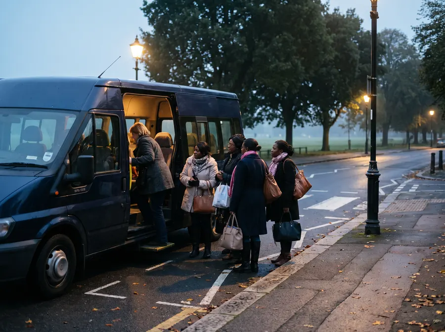
Read that again with a vehicle in mind. On these streets you cannot simply pave the front garden and park off the road. So the cars stay on the kerb — both kerbs — and between 9.30am and 5.30pm, Monday to Saturday, controlled parking decides who gets to be there at all.
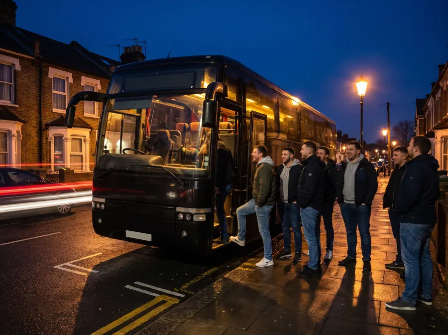
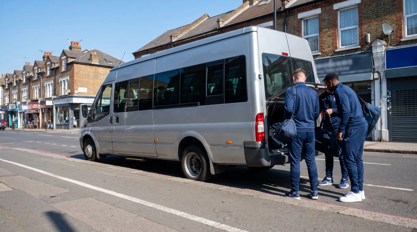
A 12-metre coach cannot turn in one of these roads, cannot wait in one, and in most cases cannot get past the parked cars to try. A 16-seat minibus can do all three. That is not us being modest about the fleet. It is a street plan from 1901, a conservation designation from 1978, an Article 4 Direction from 1990 and a parking zone doing precisely what they were each designed to do.
Which is why, when somebody rings and says “we need a coach in Tooting”, the first question back is not how many of you there are. It is: which street?